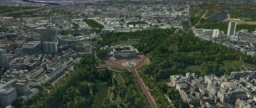
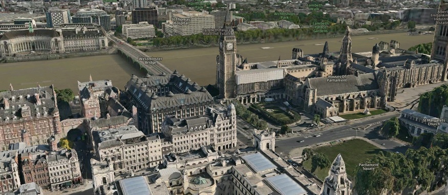
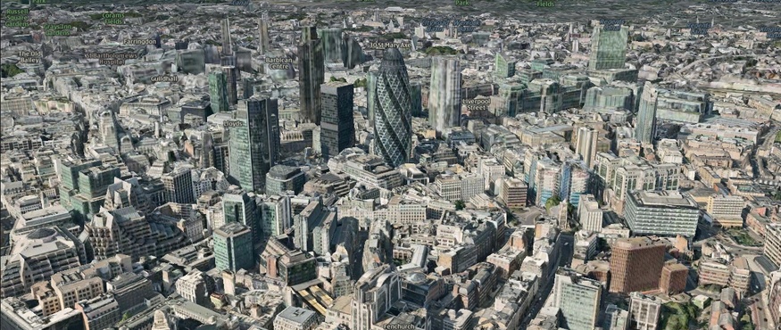
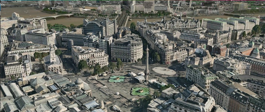
Here's London as you've never seen it before, unless you own a helicopter.
Ovi Maps from Nokia recently released a three-dimensional option, allowing you to zoom around town in unprecedented detail. That's right, the image above isn't a static photo. You can zoom in, rotate, move off into the distance, sit on the roof of 1 Canada Square, or on top of the O2. It's pretty damn jaw-dropping, so long as you've got a good graphics card.